Top Change Detection AI Tools
These platforms compare geospatial imagery or data sequences over time to map structural shifts, vegetation loss, or urban development automatically. By identifying pixel-level disparities between temporal captures, they allow you to monitor environmental transformation and infrastructure progress with precision. When selecting the right utility, prioritize the resolution requirements of your imagery and the specific processing speed needed to handle your frequent data streams.
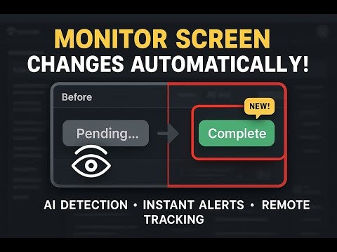
An AI-Powered screen monitoring tool

Every AI API change, recorded the day it happens

Know what changed before it breaks your business

Track anything. Get notified when something changes.

Monitor any website. Just describe what you want

AI-powered website monitoring — track changes, get alerts
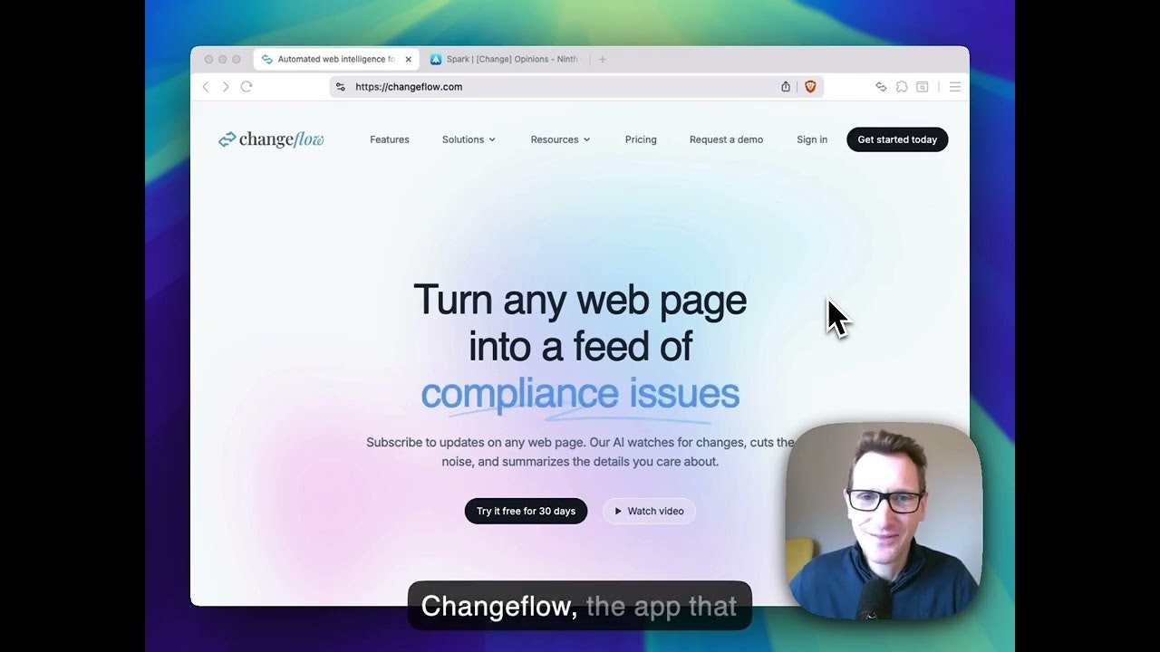
Subscribe to updates on any web page with the power of AI